Smart Surveys
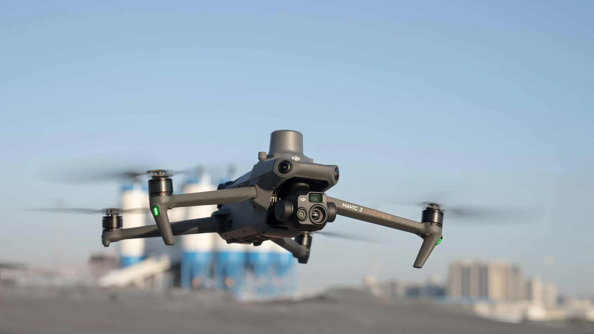
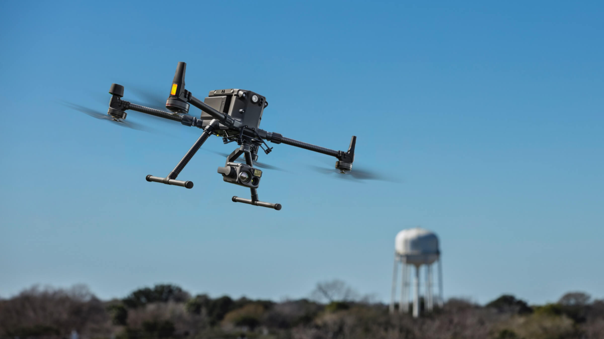
In 2024, Studio Sarpi Montella took a significant step forward in the field of surveying, adopting an innovative approach through the use of the latest generation of drones and laser scanners,allowing even remote locations to acquire data with unprecedented accuracy and efficiency.
Our Services
Aerial Photogrammetry
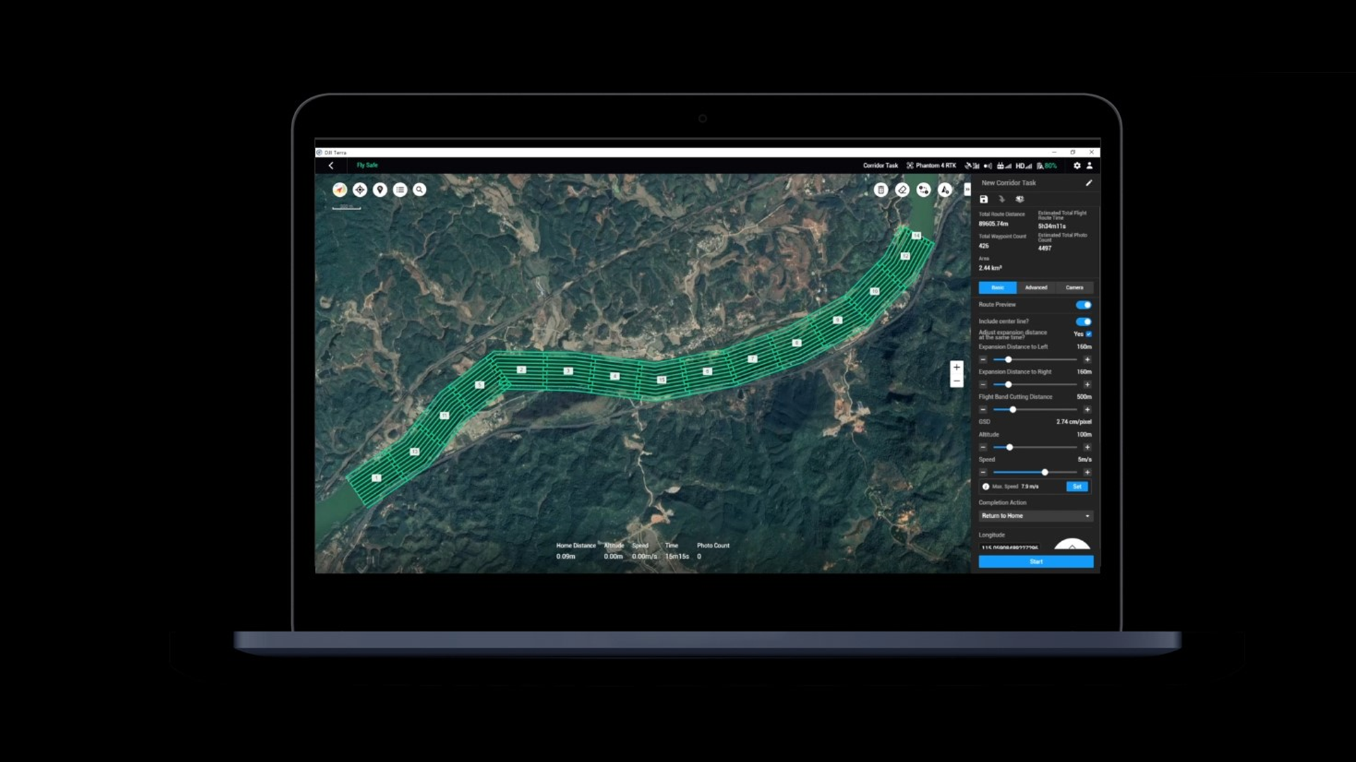
- 2D Floor Plans and DWG Sections Restitution.: We create detailed and accurate graphic drawings of buildings, bridges, roads, and railways, which can be used for structural, architectural, and urban planning designs.
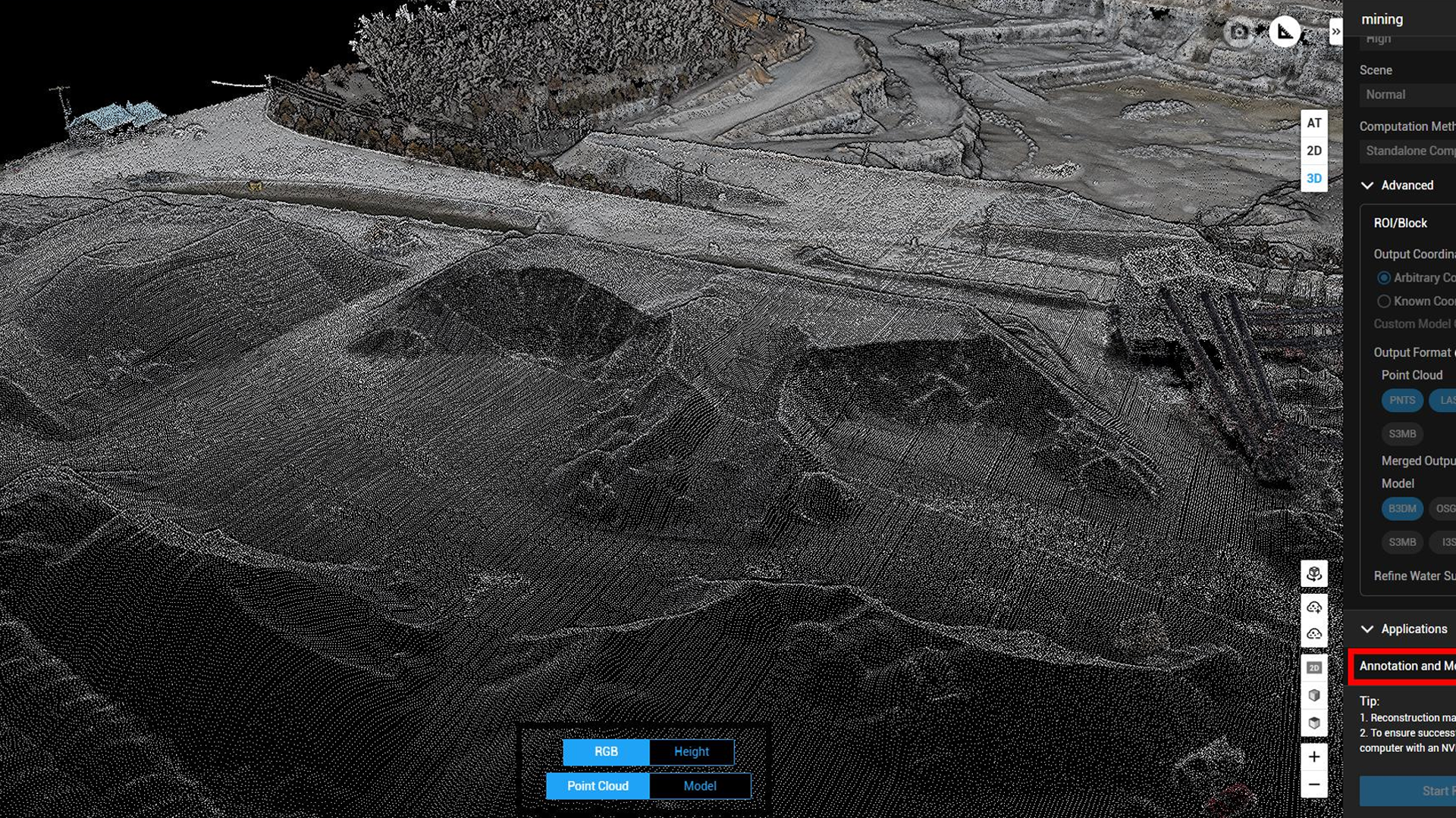
- Point Clouds: We generate highly detailed point clouds, allowing three-dimensional visualization facilitating in-depth analysis and studies.
- DEM model: We create digital elevation models (DEMs) that provide crucial information for land use planning and environmental resource management.
Inspections
Our inspection service is designed to ensure maximum safety and accuracy:
- Bridge, Road and Railway Inspection: Using our drones, we perform inspections of critical infrastructure, promptly identifying any signs of structural deterioration.
- Construction Site Work Progress Status: We monitor the progress of construction site work through regular aerial surveys, offering detailed and updated reports on the progress of the works by generating augmented virtual reality models.
- Existing building inspections: we inspect existing buildings and structures to assess their condition and identify any issues, such as cracks, water infiltration, or other critical issues. Using our advanced drone technology, we can access hard-to-reach areas and provide a comprehensive and detailed overview of the building's condition.
Environmental Monitoring
We are committed to environmental protection through:
- Terrain Studies: We can create digital terrain models (DEMs and DSMs) that help analyze and predict geologic and volcanic dynamics, providing valuable information for land use planning and risk management.
- Trail Mapping: We carry out accurate documentation of trails and tourist areas, ensuring accessibility and safety for users. Our detailed reports provide vital guidance for the maintenance and enjoyment of natural spaces.
- Monitoring of Protected Areas: We implement in-depth analyses of water resources and the ecosystem, contributing to the conservation of protected areas and the sustainable management of natural resources. Through advanced technologies, we collect useful data to promote responsible management practices.
We are ready to offer you state-of-the-art solutions capable of meeting your every need in the field of environmental surveying and management.
Contact us at +39 393 81 52 053 for more information and find out how we can help you realize your projects with utmost precision and reliability!


